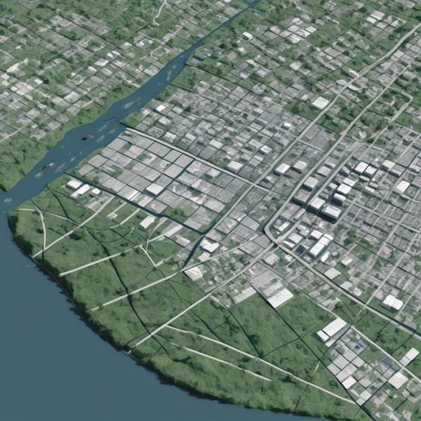
flood risk analysis
Case Study: Model Context Protocol (MCP) Disaster Response – Protocol-Driven Flood Risk Analysis Using Geospatial Servers & Satellite Imagery
Project Overview The Model Context Protocol (MCP) Disaster Response project was designed to enhance flood risk analysis through a protocol-driven approach, integrating geospatial servers and satellite imagery tool nodes. The initiative aimed to provide real-time, high-accuracy flood risk assessments to governments, NGOs, and disaster response teams, enabling faster and more