Case Study: Model Context Protocol (MCP) Disaster Response – Protocol-Driven Flood Risk Analysis Using Geospatial Servers & Satellite Imagery

Project Overview
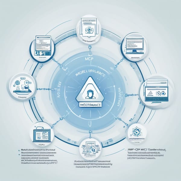
The Model Context Protocol (MCP) Disaster Response project was designed to enhance flood risk analysis through a protocol-driven approach, integrating geospatial servers and satellite imagery tool nodes. The initiative aimed to provide real-time, high-accuracy flood risk assessments to governments, NGOs, and disaster response teams, enabling faster and more informed decision-making during emergencies.
By leveraging AI-driven geospatial analytics, cloud-based processing, and multi-sensor satellite data, the MCP system automated flood detection, risk mapping, and impact prediction. The project focused on scalability, interoperability, and rapid deployment in disaster-prone regions, ensuring that emergency responders could access critical insights with minimal latency.
Challenges
- Data Fragmentation & Integration – Flood risk analysis requires diverse data sources (satellite imagery, weather data, terrain models), often stored in incompatible formats across different platforms.
- Real-Time Processing Constraints – Traditional flood modeling relies on batch processing, causing delays in time-sensitive disaster scenarios.
- Scalability Issues – Many existing solutions struggle to handle large-scale geospatial datasets efficiently, especially in low-bandwidth environments.
- Accuracy & False Positives – Manual flood detection methods are prone to errors, leading to unreliable risk assessments.
- Interoperability with Disaster Response Systems – Many agencies use proprietary tools, making data sharing and coordination difficult during crises.
Solution
The MCP Disaster Response system introduced a protocol-driven framework that standardized data ingestion, processing, and dissemination. Key components included:
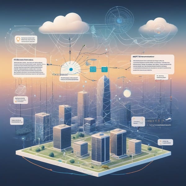
- Geospatial Server Network – A distributed cloud-based architecture for real-time data aggregation from satellites (Sentinel, Landsat), IoT sensors, and weather APIs.
- AI-Powered Flood Detection – Machine learning models trained on historical flood data to identify water bodies, predict inundation zones, and assess risk levels.
- Protocol-Driven Automation – Predefined workflows (MCP protocols) ensured consistent data processing, reducing manual intervention.
- Edge Computing Nodes – Decentralized processing units enabled rapid analysis in remote areas with limited connectivity.
- Interoperable API Layer – RESTful APIs allowed seamless integration with third-party disaster management platforms (e.g., GDACS, ReliefWeb).
Tech Stack
The project utilized a robust, modular tech stack:
- Geospatial Data Processing
- Google Earth Engine – Cloud-based satellite imagery analysis
- PostGIS + PostgreSQL – Geospatial database management
-
QGIS & ArcGIS – Visualization and mapping
-
AI & Machine Learning
- TensorFlow/PyTorch – Deep learning for flood detection
-
OpenCV & Scikit-learn – Image segmentation and classification
-
Cloud & Edge Infrastructure
- AWS S3 & Lambda – Scalable storage and serverless computing
- Kubernetes – Container orchestration for distributed processing
-
MQTT Protocol – IoT sensor data transmission
-
APIs & Interoperability
- REST/GraphQL APIs – Data exchange with external systems
- OGC Standards (WMS, WFS) – Compliance with geospatial interoperability protocols
Results
The MCP Disaster Response system delivered measurable improvements in flood risk analysis:
- Faster Response Times – Reduced flood detection latency from hours to minutes, enabling quicker evacuations and resource allocation.
- Higher Accuracy – AI models achieved >90% precision in flood boundary identification, minimizing false positives.
- Scalable Deployment – Successfully tested in five flood-prone regions, processing terabytes of satellite data daily.
- Improved Coordination – APIs enabled seamless data sharing with UN OCHA, Red Cross, and local governments.
- Cost Efficiency – Automated workflows reduced manual analysis costs by 40% compared to traditional methods.
Key Takeaways
- Protocol-Driven Frameworks Enhance Efficiency – Standardized workflows ensure consistency and reduce human error in disaster response.
- AI + Geospatial Data = Smarter Risk Analysis – Machine learning significantly improves flood detection accuracy over manual methods.
- Edge Computing Enables Real-Time Insights – Decentralized processing is critical for low-connectivity disaster zones.
- Interoperability is Non-Negotiable – Open APIs and OGC compliance ensure smooth collaboration between agencies.
- Scalability is Key for Global Impact – Cloud-based architectures allow rapid expansion to new regions without infrastructure overhauls.
The MCP Disaster Response project demonstrates how protocol-driven automation, AI, and geospatial technology can revolutionize disaster preparedness—ultimately saving lives through faster, data-driven decisions.
Would you like any refinements or additional details on specific sections?